Natural Heritage Features
Local histories document that the First-Nations people had settlements at Puslinch Lake, Arkell Springs and Morriston Pond. Due to early traffic between these three sites, arrowheads, scrapers, flint shards and other artefacts have been found on Township farms, especially in the early days of pioneers walking behind the plough.
Water was important to the next settlers in Puslinch as grist mills, lumber mills and woolen mills relied on water to power the operations. The mill pond was created at Aberfoyle when Mill Creek was dammed. A dam on Irish Creek, a tributary of the Speed River in the northwest corner of the Township, created water power for Holm’s Mill. In Arkell, the Caulfield woolen mill and later lumber mill relied on water from the Arkell Spring grounds.
The Aberfoyle Mill has been repurposed as a fine dining establishment, but early mills like the Caulfield/Cook’s Mill burned to the ground. The waterways that supported these early mills are still of importance today. The Arkell Spring grounds are a major water source for the City of Guelph. Puslinch Lake, a kettle lake, is a popular recreational site with a restaurant on the old marina grounds drawing visitors to the area. Mill Creek that runs from Aberfoyle across the southern part of the Township is stocked with fish by the Grand River Conservation Authority. A program called the “Mill Creek Rangers” offers young people the opportunity to broaden their knowledge of ecology and the biodiversity of our environment.
At the suggestion to Puslinch Council by local historian Marjorie Clark, signage was posted by the Heritage Committee throughout the Township in 2013 to mark these natural heritage features.
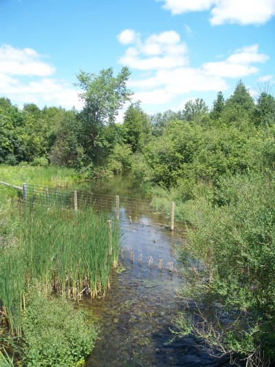
Halligan’s Pond
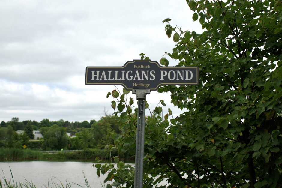
Patrick Halligan settled on lot 16, front concession 9, which was farmed next by W. Cassin. The pond has an interesting story about its origin. Originally, concession 9 went straight south from the current Victoria Road. When the pioneers were clearing this farm, they pulled stumps from the field next to the road bank on the east side of the pond only to return to find that a spring had been uncovered and water had flooded the pioneer road completely.
The 1861 Leslie map of the Township shows the Halligan’s Pond is on this property and the 1877 Wellington County Atlas map of the Township shows Cassins. Both maps show the original road going straight through. By the 1906 atlas’s map, the jog in the road and Halligan’s Pond appear. Cassin was the owner in 1906. By 1950 this farm was owned by the Haughs. In the 1990s, on a flight that circled over Puslinch, Robert McFarlane was able to see the original pair of wheel tracks from the early road still visible under the water.
Most recently, in 2013 Halligan’s Pond was marked by a Puslinch Heritage road sign as a natural heritage feature of the Township.
Irish Creek
Irish Creek was of great importance in the northwest corner of Puslinch. Niel Peter Holm was born in Markham Twp. in 1811, a son of Niehls P. Holm who emigrated to York Co. in 1800 from Denmark. Niel purchased front & rear of lot 1, concession 3 Puslinch in 1829 and built a dam on the outlet and a sawmill across the line in Waterloo County. In 1850 father and son rebuilt a larger dam and a sawmill. In 1856, they built a dam on the Speed River and flour mill operated by his son Peter N. Holm, then Krib, next Cole father and son, and finally A. J. Shantz. The Mill is on the west side of Townline Rd. in Waterloo Region.
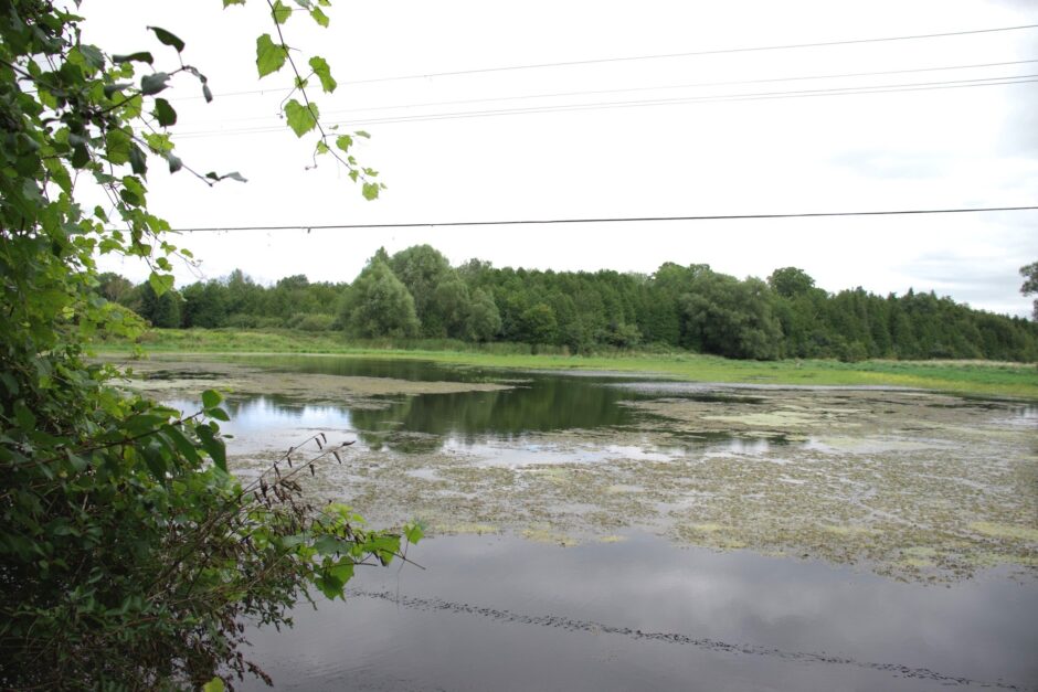
Loch Buie
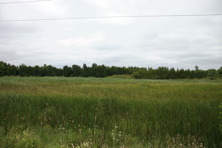
The Highland Scottish immigrants to Badenoch named a small reedy lake on the northern extreme of the Badenoch section Loch Buie on lot 26, rear of concession 9, Puslinch. This is pronounced “Lock Boo-ee” which means Yellow Lake in Gaelic and is descriptive of the lake. Lot 26, rear concession 9 was originally owned by Andrew McRobbie.
The farm across the road, lot 27, front concession 10 was owned by the John McLean family. The McLean family emigrated from Killihuntly, Inch Parish, Badenoch, Scotland and called their farm “Loch Buie Farm”. The name remained as the farm was inherited by successive generations of the family, the Buchanans and the Toshs. In fact, the area surrounding the lake came to be referred to by the name Loch Buie, also.
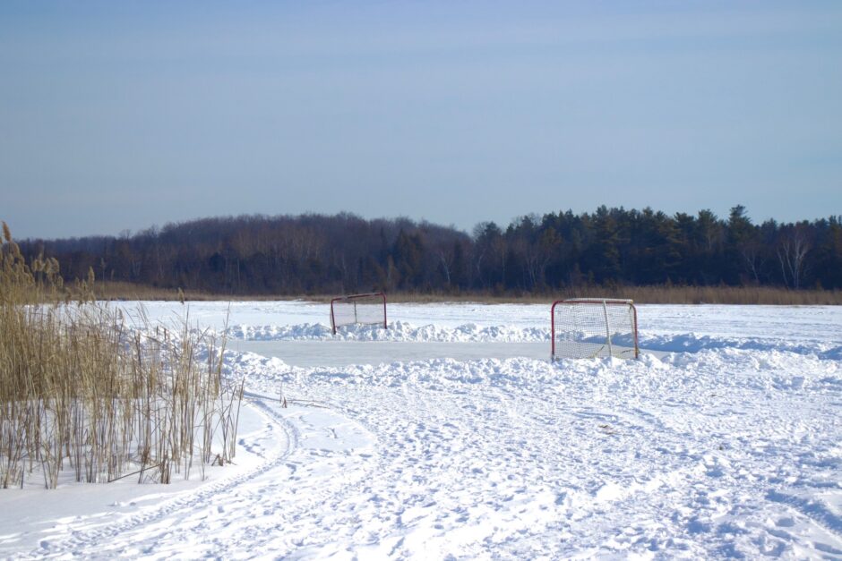
Youngsters from Badenoch have skated on Loch Buie through the generations. It is also a haven for wildlife and a peaceful spot in our Township.
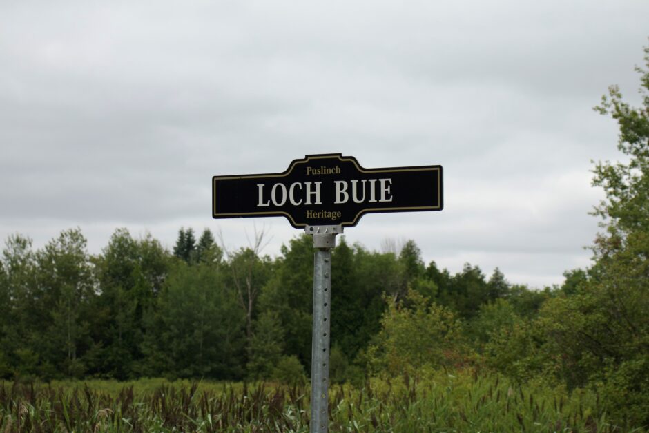
In 2013, Loch Buie was marked by a Puslinch Heritage road sign as a natural heritage feature of this Township.
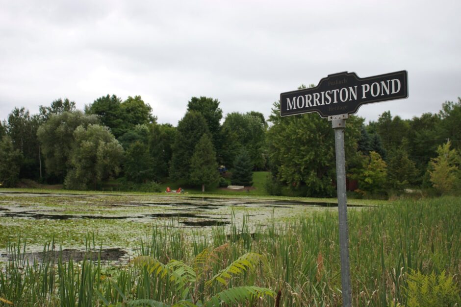
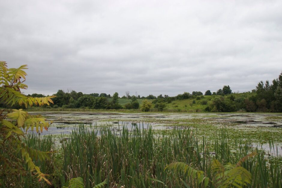
Morriston Pond
A First-Nations village was located by Morriston Pond when the European settlers arrived and a small settlement named Elgin developed. In 1849 it became known as Morriston after Scotsman R. B. Morrison who built a frame store on the east side of Brock Road in the village at that time.
Ice blocks were cut from the pond each winter to supply ice to the village and local farms up until electricity was introduced and refrigerators came into common use after the Second World War. In the summer, the pond provided a place for the villagers to cool off and paddle about in small boats.
Many native plants can still be found in and around the pond, once a source for medicines and foodfor the First Nations people who lived there in previous centuries.
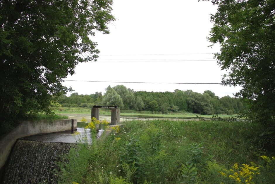
Natural Man-Made Waterways
Mill Pond & dam at Aberfoyle Mill is a beautiful waterway in the Township of Puslinch. In 1849, a petition was signed by all the local farmers requesting a mill for processing their grain. The petition is a valuable historical document recording the lots and concessions of each of their farms.
Another known waterway in the Puslinch community is Mill Creek. Today, young people in the Puslinch area serve as stewards to this waterway.
Natural Spring, McPherson’s Lane, is just east of Puslinch Station. People used to go to this spring for clear spring water before Provincial regulations changed this.
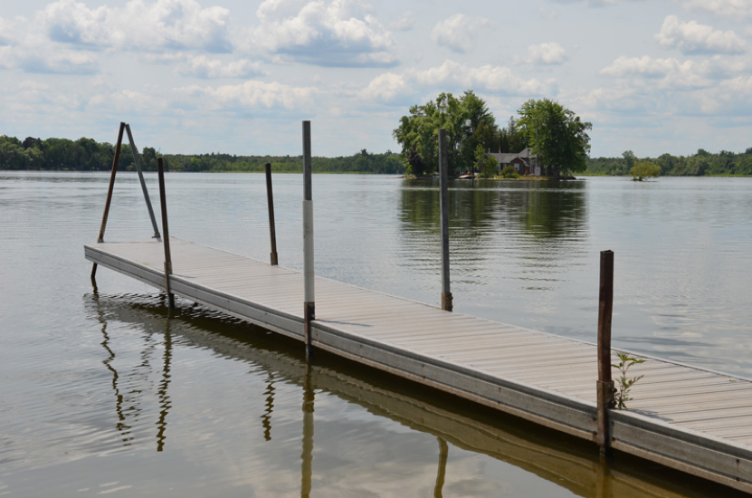
Puslinch Lake
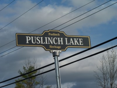
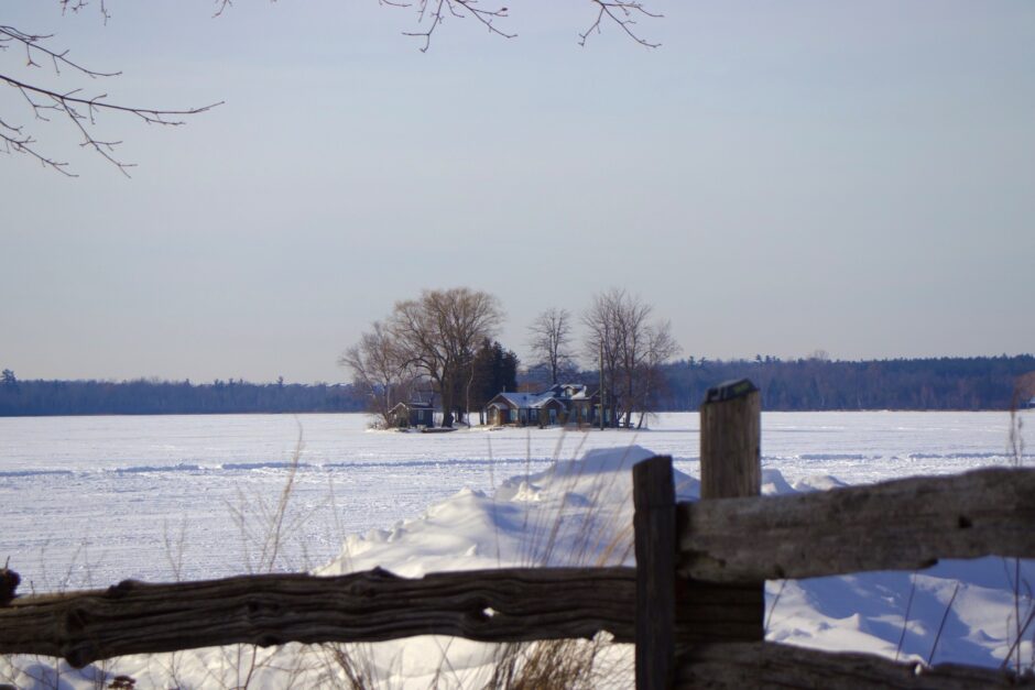
When the Township of Puslinch Public Works Department placed the signs on natural features of note in the Township in 2013, Puslinch Lake posed a problem. With the sign at the lake itself, it couldn’t be seen from the road. Since the idea of the signage was to alert residents to the significance of heritage features, it made more sense to place the sign for Puslinch Lake on the Accommodation Road at the entrance to McClintock’s.
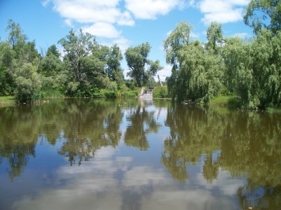
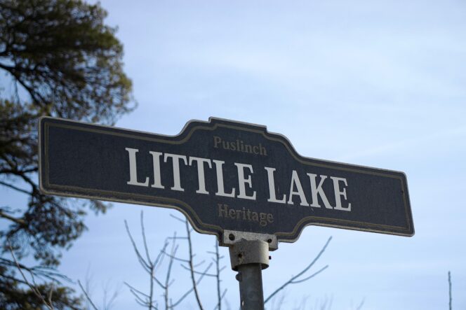
Further east on the same road is Little Lake, named for its size in comparison to the main lake – not the Little family who settled in the area. It has been called “bottomless lake” for years by local residents, not named because it was deep but due to its gooey base. Over the years, this has been a popular fishing spot. (bottom right photo)
Puslinch Lake is the largest kettle lake in North America. If you visit Puslinch Lake, it’s very common to see people enjoying a number of recreational activities including swimming, fishing, sailing, motor boating, and water skiing. Pedestrian access to Puslinch Lake is available at the end of Travelled Road and no parking is permitted at this access point.